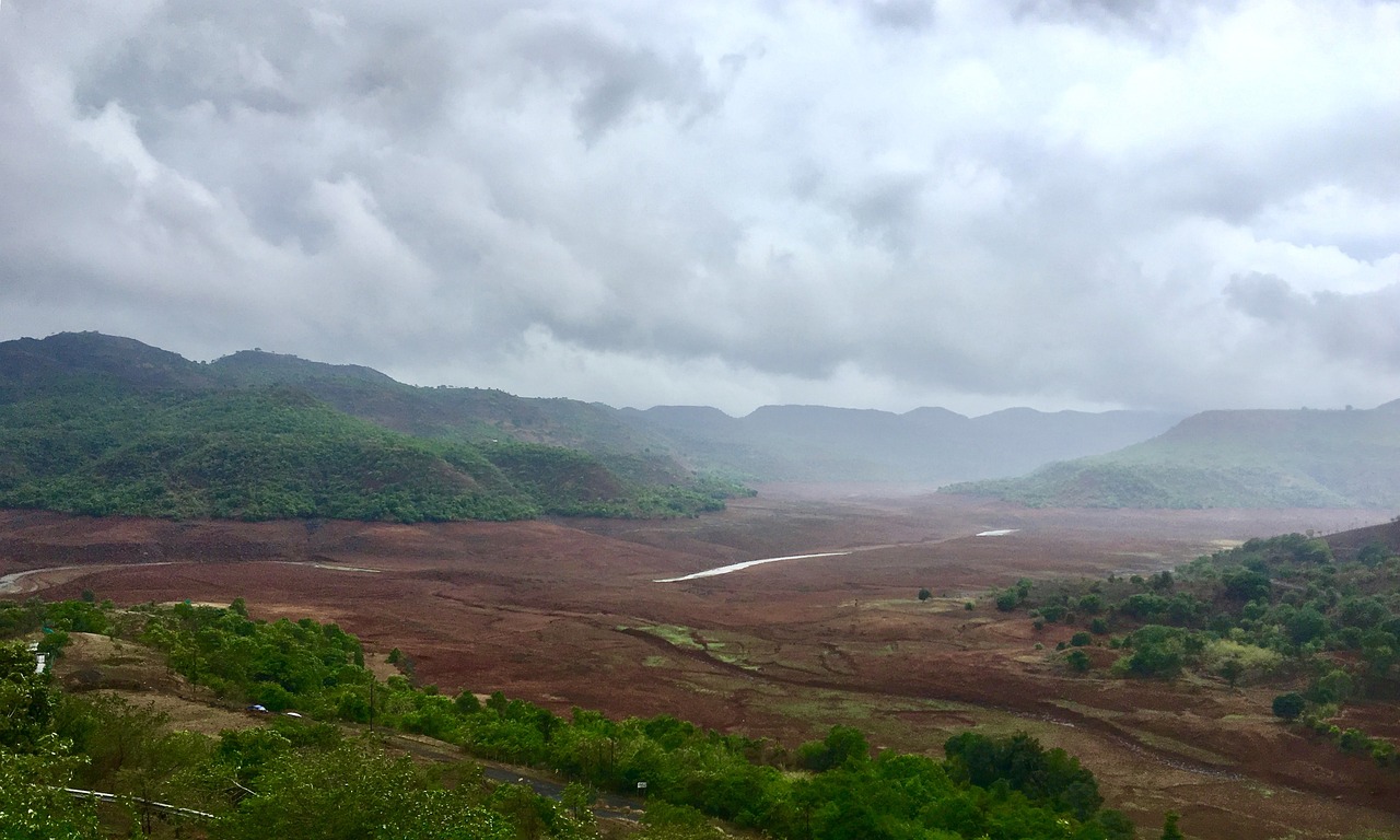
New Delhi: The India Meteorological Department (IMD) today warned of heavy to very heavy rainfall over Maharashtra, coastal and north interior Karnataka during the next five days.
It also warned of a fresh spell of heatwave conditions over northwest India from tomorrow, which are likely to continue over parts of east & east-central India, Uttar Pradesh and northeast Madhya Pradesh during the next 5 days.
A cyclonic circulation lies over northwest Madhya Pradesh and another over east Bihar in lower tropospheric levels. Under their influence, isolated to scattered light to moderate rainfall accompanied by thunderstorms, lightning and gusty winds (30-40 kmph) is very likely over Bihar, Jharkhand, Gangetic West Bengal, Odisha, Madhya Pradesh, Vidarbha, Chhattisgarh during the next 4-5 days. Isolated hailstorms and squally winds (50-60 kmph) are very likely over Madhya Pradesh on June 8-9, 2024.
Another cyclonic circulation lies over central Assam and the neighbourhood at lower tropospheric levels. Strong southwesterly/southerly winds are prevailing from the Bay of Bengal to northeastern States in lower tropospheric levels. Under their influence, fairly widespread light to moderate rainfall accompanied by thunderstorms, lightning and gusty winds (30-40 kmph) is likely over Arunachal Pradesh, Assam and Meghalaya, Nagaland, Manipur, Mizoram and Tripura and Sub-Himalayan West Bengal and Sikkim during next 7 days. Isolated heavy rainfall is also very likely over Sub-Himalayan West Bengal and Sikkim from June 8-12; Assam, Meghalaya and Arunachal Pradesh from June 9-12; Nagaland from June 8 and 12. Isolated very heavy rainfall is also likely over Assam and Meghalaya on June 11- 12, 2024.
The IMD said a trough runs from Maharashtra to north Kerala in lower tropospheric levels and under their influence isolated heavy to very heavy rainfall very likely over Konkan and Goa, central Maharashtra, coastal and north interior Karnataka during June 8-11; Kerala and Mahe on June 8 and 9, 2024. Isolated extremely heavy falls are also very likely over Konkan and Goa during June 8-10; central Maharashtra during June 9-11; Coastal Karnataka on June 8-9 and north interior Karnataka on June 9, 2024. Isolated heavy rainfall is also very likely over Konkan and Goa, Madhya Maharashtra, Coastal Karnataka on June 12; Kerala and Mahe during June 10-12; and south interior Karnataka during June 8-10.
Southwest Monsoon has advanced into some more parts of the central Arabian Sea, south Maharashtra, Telangana, some parts of south Chhattisgarh, south Odisha and some more parts of Coastal Andhra Pradesh today. The Northern Limit of Monsoon now passes through Harnai, Baramati, Nizamabad, Sukma, Malkangiri, Vizianagaram, and Islampur. Conditions are favourable for further advance of Southwest Monsoon into the remaining parts of the central Arabian Sea, some more parts of Maharashtra (including Mumbai) and Telangana during the next 2-3 days.
Meanwhile, duststorms and thundersqualls are very likely over Rajasthan on June 9, 2024. There will be a likely rise in maximum temperatures by 2-3°C over east India during the next 2 days and no significant change thereafter. However, in northwest India except Rajasthan, there will be a likely rise in maximum temperatures by 3-4°C during the next 5 days.
IMD said there will be no significant change in maximum temperatures over central India during the next 3 days, but temperatures there will likely rise by 2-3°C thereafter. In the rest of the country, there will be no significant change in maximum temperatures, it added.
– global bihari bureau


