INSA Workshop Backs Eco-Cultural Mapping
Scientists, Educators, Environmentalists Back Geo-Cultural Planning Shift
New Delhi: A national-level deliberation hosted at the Indian National Science Academy (INSA) has brought into sharp focus a question rarely asked in India’s development discourse: Can administrative maps designed for political and bureaucratic convenience continue to guide planning in a country whose ecological and cultural systems do not follow such boundaries?
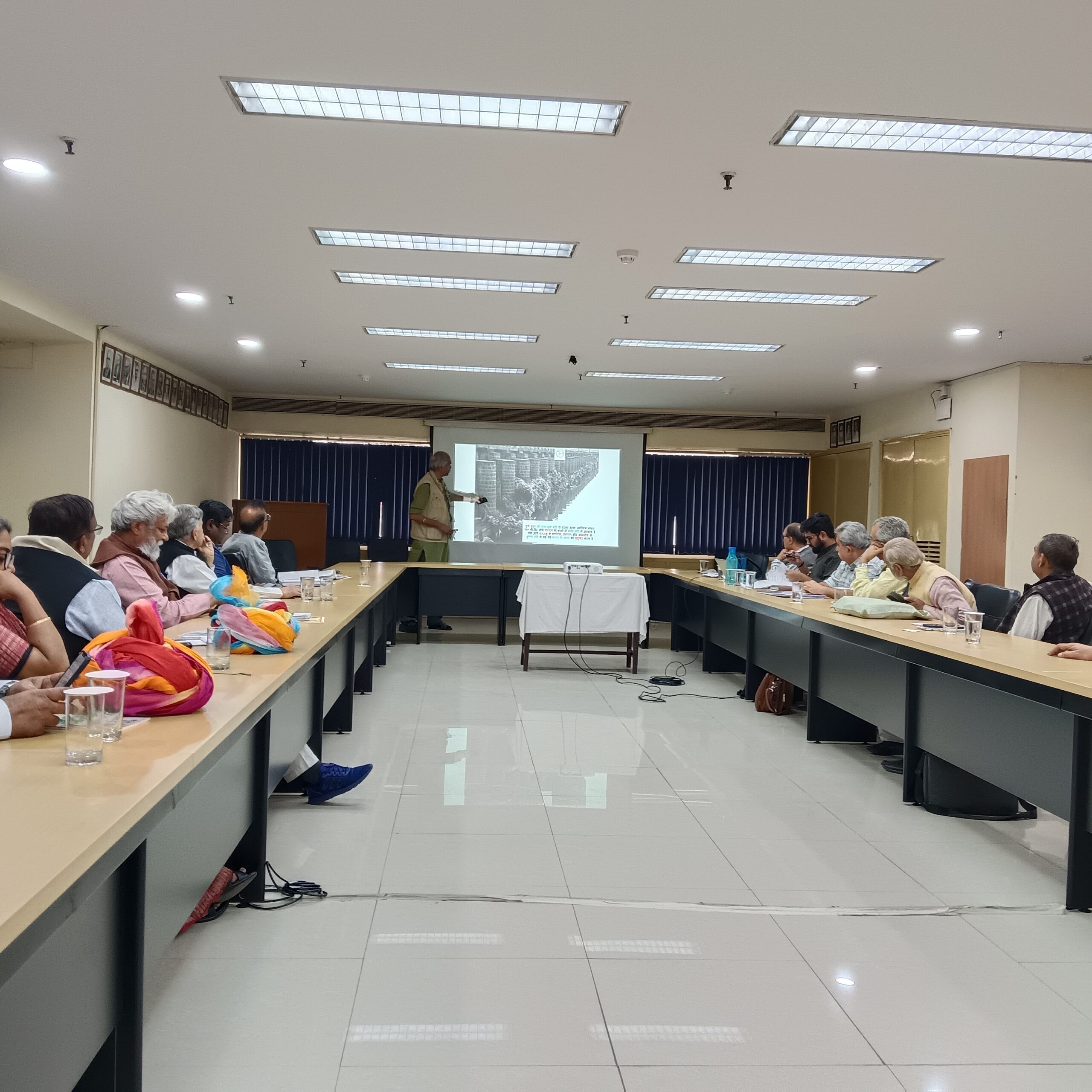
Over two days, experts from diverse fields examined a draft Geo-Cultural Map of India prepared by Tarun Bharat Sangh after a decade-long field exercise that identified 86 distinct geo-cultural regions shaped by soil, water, traditional livelihoods, linguistic identities, and cultural practices. Based on seven key criteria, the mapping seeks to replace a development model driven by structural expansion with one anchored in the regeneration of nature and culture.
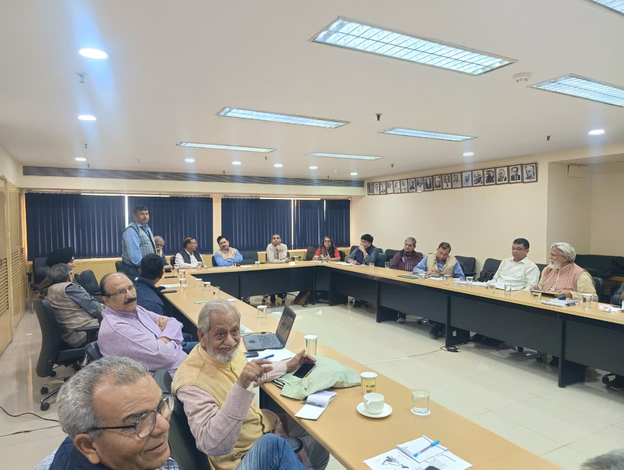
The workshop, convened by environmentalist and water-conservation advocate Dr Rajendra Singh, assembled representatives from multiple agro-climatic zones, scientists, educationists, social workers, policy thinkers, and design researchers. A scientific validation committee chaired by geologist and Jai Narain Vyas University Vice-Chancellor Prof. Kanhaiyalal Srivastava was announced, with Prof. Rana Pratap Singh of Babasaheb Bhimrao Ambedkar University, economist Vijay Paranjpye, and Delhi University’s Prof. Madhulika Banerjee as members. A separate follow-up group to refine the conceptual framework will work in consultation with the National Council of Educational Research and Training (NCERT), the Department of Science and Technology (DST), and the School of Planning and Architecture (SPA), and includes Prof. Puneet Kumar of Anant National University, Narendra Chugh of Jal Biradari, Dr Prem N Sharma (Retired International Senior Natural Resources/Watershed Management and Senior Operations Officer of the FAO-UN), Vinod Bodhankar of Sagar Mitra / Pawan Mitra Abhiyan, and Dr. Ram Bhooj, formerly with UNESCO, New Delhi.
Dr Singh argued that India’s prevailing development paradigm over the last two centuries had separated communities from their ecological foundations, shrinking the historically significant contribution of nature–culture linkages to the national economy. He said that while such linkages once contributed around 32 per cent, they have now fallen to approximately 4 per cent, reflecting a deeper erosion of ecological and cultural cohesion. He emphasised that traditional knowledge systems recognise the interdependence of water, soil, and culture, and cited Tarun Bharat Sangh’s revival of 23 rivers through community-led conservation to illustrate how regeneration can follow when local wisdom guides planning. His central contention was that India must pursue regeneration rather than expansion if it hopes to build a sustainable and self-reliant future.
Speakers examined how education policies have distanced younger generations from their ecological settings. NCERT specialists Dinesh Kumar and Gagan Gupta said that project-based learning, local resource mapping, and community-linked teaching could help reconnect students with the environments they inhabit. Prof. Banerjee noted that India’s historical knowledge traditions were grounded in the coexistence of culture and nature, but school curricula had long downplayed this relationship, weakening ecological sensitivity among students.
Regional experiences presented at the workshop highlighted the extent to which ecological systems cut across political boundaries. Paranjpye pointed out that in regions such as Ladakh, cultural diversity — Islamic and Buddhist — does not diminish ecological interdependence. He said that similar overlaps between ecology and culture are evident across Maharashtra, Konkan, and Marathwada, strengthening the case for development strategies aligned to natural systems rather than artificial administrative lines.
One of the most engaged segments of the event came from 44 design students of Anant National University, who presented visual interpretations of geo-cultural regions after a study visit to Tarun Bharat Sangh’s campus in Alwar. Guided by Prof. Puneet Kumar, their work showed how younger researchers are beginning to treat geo-cultural mapping as both a scientific exercise and a creative, practice-based exploration of regeneration. Their models demonstrated that mapping can become an accessible tool to convey ecological knowledge across generations.
Presentations from agro-climatic regions such as the Eastern Coastal belt and the Aravalli–Malwa tract reinforced the diversity of ecological and cultural conditions across India. Participants from the National Institute of Hydrology, the School of Planning and Architecture, IIT Delhi, and several universities said that the proposed map could aid pedagogy, administrative planning, and community engagement with localised development strategies, provided its claims withstand scientific scrutiny. Prof. L.C. Ramesh of Adikavi Nannaya University, Andhra Pradesh, spoke on the Eastern Coastal Region; Kumar Siddharth, who presented insights from the Aravalli–Malwa Region; and Prof. Srivastava discussed landscape complexities in western India. Participants from the National Institute of Hydrology (NIH), the School of Planning and Architecture, IIT Delhi, and multiple universities said that the proposed map could aid pedagogy, administrative planning, and localised development strategies, provided its premises undergo rigorous scientific scrutiny.
The concluding session widened the discussion to global concerns. Dr Sachin Chaturvedi, Vice-Chancellor of Nalanda University and Director-General of the Research and Information System (RIS), warned that the less than 20% of the Sustainable Development Goal (SDG) targets are on track to be achieved by the 2030 deadline, with a global average of around 17% fully on track according to leading reports and UN data. He said emerging international practices increasingly favour localised cultural and ecological clusters, and highlighted that Nalanda University functions as a fully net-zero campus, self-reliant in both water and energy. He added that thirteen universities in Bihar would undertake work on agro-climatic zones aligned with the geo-cultural approach.
The arguments advanced in the workshop underscored why proponents believe a new mapping framework is necessary. Organisers said administrative and political boundaries, often drawn for governance convenience, rarely reflect ecological sensitivities and frequently lead to displacement, resource stress, and cultural dislocation. They maintained that development aligned with natural and cultural systems tends to avoid such disruption, promoting resilience instead of degradation. Tarun Bharat Sangh’s decade-long mapping effort, they noted, relied extensively on local place-names, community memory, and long-term fieldwork to identify coherent regions whose ecological identities have endured across generations.
With the scientific validation process now initiated, proponents contend that the geo-cultural map could help India design development pathways that minimise ecological damage and revive traditional systems of sustainability. Critics at the gathering did not dismiss the idea but emphasised the need for rigorous peer review, transparent criteria, and integration with existing planning mechanisms. Whether the initiative ultimately influences national policy remains uncertain, but the deliberation at INSA underlined a growing appetite for alternatives to conventional development models.
The workshop was attended by a wide range of scientists, academics, planners, and civic leaders, including representatives from Jal Biradari, the National Institute of Hydrology, Unnat Bharat Abhiyan, the Rashtriya Kisan Mazdoor Sangathan, Gandhi Yuva Biradari, and several universities and civil society groups. Coordination support came from the Tarun Bharat Sangh team based in Gwalior.
The workshop drew participation from a wide range of scientists, academics, planners, and civic leaders, including Narendra Chugh (Jal Biradari, Pune); Lakkaraju Satyanarayana (People’s Water Governance and Development Forum Chapter, Kakinada); Puneet Kumar (Anant National University); V.M. Singh (Rashtriya Kisan Mazdoor Sangathan); Prof. Ashok Kumar (Director, School of Planning and Architecture); Dr. Manmohan Singh Shishodia (Gautam Buddha University); Dr. Pankaj Gupta (Indian Institute of Technology Delhi); Dr. Akhilesh Mishra (Department of Science and Technology); Prabhat Kaul (Naveen Jindal Foundation); Prof. P.K. Singh (Unnat Bharat Abhiyan, Indian Institute of Technology Delhi); Vinod Bodhankar (Sagar Mitra / Pawan Mitra Abhiyan); Deepak Kumar (former Chief Secretary, Uttar Pradesh); Dr. Y.R. Satyasri Rao (National Institute of Hydrology, Roorkee); Ashutosh Sharma (Indian National Science Academy / Indian Institute of Technology Kanpur); Ramesh Chandra Sharma (Gandhi Yuva Biradari); Sanjay Singh (Parmarth, Madhya Pradesh); Deepak Parvatiyar (Chief Editor, Global Bihari); Sudhanshu Ranjan (Editor, Pravasi Indian); Anil Singh Sengar (Jal Prahari); Basavaraj Patil (Rashtriya Swabhiman Andolan); Dr Samar Verma (Economist); and others. Coordination support came from Paras Pratap Singh, Rajmohan Singh, and Manish Rajput of Tarun Bharat Sangh’s Gwalior-based team.
As the discussions closed, the central question lingered: can India’s future development be anchored in a map that reflects the logic of its landscapes, languages, and living cultures rather than the straight lines of its administrative charts? The answer, participants acknowledged, will depend on whether regeneration is accepted as a national priority and whether scientific validation confirms the map’s claim to represent India’s ecological realities with accuracy and depth.
– global bihari bureau


Excellently summarized ! I just wanted to add this – कार्यशाला के अंत में राजेंद्र सिंह ने कहा जब भारत अपनी प्रकृति और संस्कृति के गहरे संबंध को समझेगा, तब विकास नहीं, बल्कि पुनर्जनन की प्रक्रिया शुरू होगी। यही स्थायी, संतुलित और आत्मनिर्भर भारत का मार्ग है। इसिसे वर्तमान जल-वायु-भूमी संकट को भारतीय सर्व-समावेशक सांस्कृतिक समझ के आधार से अंतर-बाह्य सर्वांग-सिद्ध प्रतिसाद मिलेगा, जो समझना और समझाना अब हम सब के लिये एक नित्य-कर्तव्य-साधना का मार्ग बन गया है।